
At Axximum, we combine AI, LiDAR, and spatial analytics to drive transformation worldwide.
From land use mapping to smart city models, we deliver reliable, scalable mapping services.
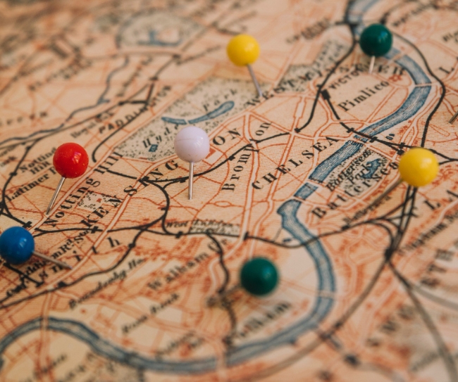
Welcome to Axximum, where we transform raw data into actionable 2D/3D mapping solutions.

From land use mapping to infrastructure modeling, we deliver scalable, high-precision geospatial services.
Reliable data labeling for AI and ML models
Automated document workflows powered by AI and OCR
End-to-end healthcare billing and claims solutions


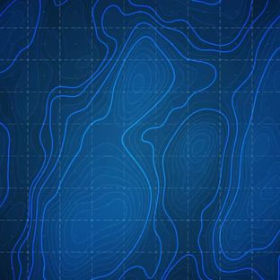


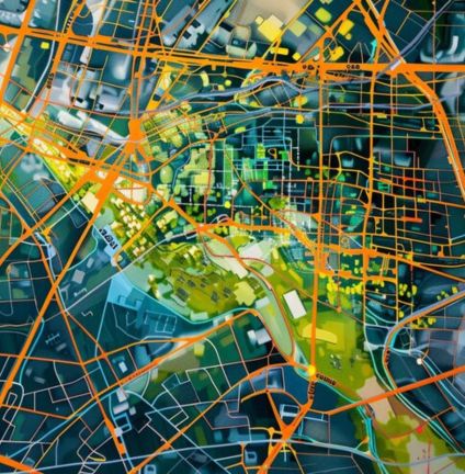
Accurate land use and urban mapping delivers geospatial insights, enabling sustainable development, smarter infrastructure planning, and informed decision-making for future-ready cities.

Accurate mapping solutions capture urban landscapes and land usage, providing organizations with actionable geospatial insights for smarter planning, sustainable development, and infrastructure growth.
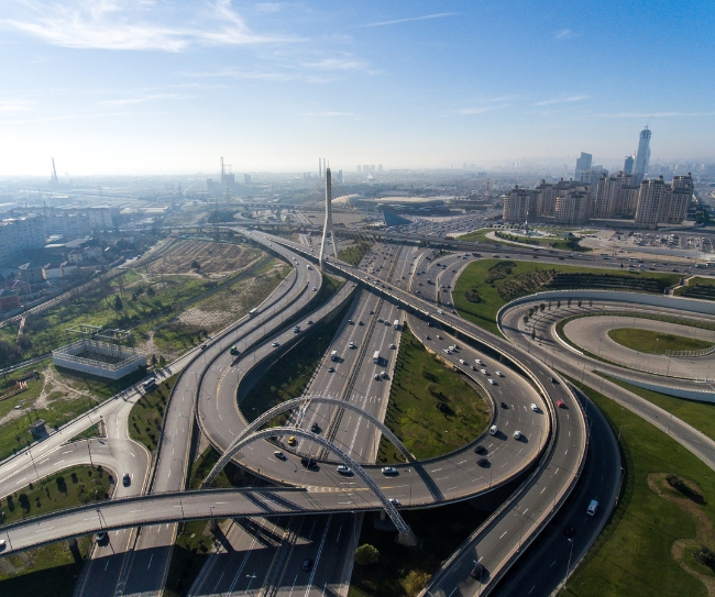
City and infrastructure modeling leverages advanced geospatial data to create accurate 3D models of urban environments, supporting efficient planning, optimized resource allocation, traffic management, and sustainable development for modern, future-ready cities.
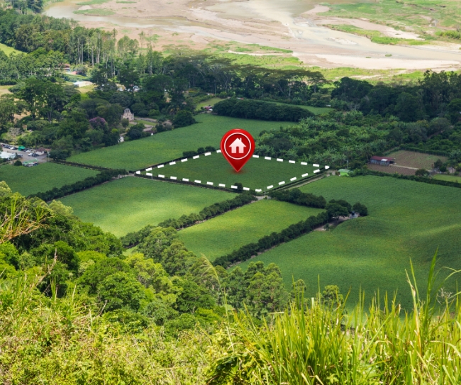
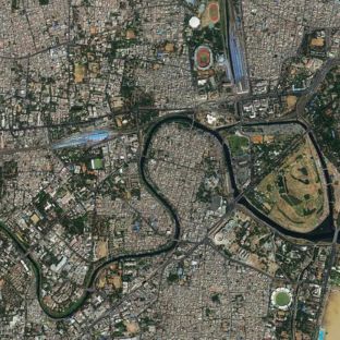
Cadastral and parcel mapping provides precise property boundaries and land ownership data, supporting urban planning, legal compliance, infrastructure development, and efficient land management for governments, developers, and real estate stakeholders.
Our team is ready to discuss mapping and geospatial solutions.

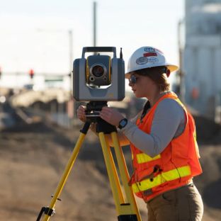
Utility and network mapping provides precise geospatial data for underground and above-ground infrastructure, enabling efficient maintenance, optimized management, reliable planning, and decision-making for utilities, water, and energy networks.
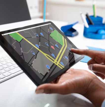
Transportation and HD mapping deliver high-precision geospatial data to support smart mobility, autonomous navigation, road planning, and rail networks, enabling safer travel, efficient operations, and future-ready transportation systems.

High-quality image processing enhances geospatial data accuracy by extracting, analyzing, and transforming imagery into actionable insights for mapping, classification, visualization, and decision-making across industries.
We deliver innovative, scalable geospatial and AI solutions, ensuring accuracy, efficiency, and results that help organizations achieve sustainable growth and smarter decisions.

We deliver precise geospatial, AI, and data solutions with proven expertise that ensure reliable results for every project.
Flexible services adapt to business needs, supporting organizations of all sizes with cost-effective, future-ready technology.

Round-the-clock assistance ensures uninterrupted operations, timely issue resolution, and smooth project delivery worldwide.

We integrate AI, automation, and emerging technologies to enhance workflows, efficiency, and smarter decision-making.
Transforming raw data into accurate mapping solutions for smarter planning and decision-making.