
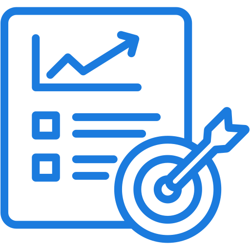
Modernizing cadastral workflows with AI-powered geospatial mapping and automated document processing for accuracy and efficiency.
Delivering precision-driven land parcel validation and boundary adjustments with GIS-ready outputs for governance and planning.
Enabling digital property assessment, land use planning, and compliance monitoring through intelligent mapping and automation tools.


Our solutions integrate advanced GIS mapping, AI-powered automation, and cadastral validation to strengthen property registration, streamline approvals, and create transparent, sustainable land governance frameworks.

Ensure reliable cadastral data with GIS and AI-based transformation.

Digitize document workflows to speed ownership transfers.

We provide specialized geospatial, cadastral, and automation services that empower governments, utilities, and enterprises to streamline land management, modernize records, enhance compliance, and ensure transparent property governance for sustainable growth.

Digitizing land records, cadastral systems, and parcel boundaries for transparent and reliable governance.
View Details
Supporting zoning, infrastructure modeling, and land-use planning through advanced GIS and mapping technologies.
View Details
Delivering cadastral integration with network maps to streamline planning, asset management, and compliance reporting.
View Details
Offering precision geospatial data, LiDAR, and photogrammetry outputs for land parcel validation.
View Details
Enhancing property assessments, ownership records, and land-use compliance to reduce disputes and risks.
View Details
Providing carbon footprint analysis, land cover mapping, and predictive tools for sustainable development.
View Details
Preserving property archives, historical records, and built heritage assessments with digital asset intelligence.
View DetailsWe deliver cadastral mapping, property assessment, infrastructure modeling, building intelligence, and compliance solutions to help governments and enterprises modernize land governance, optimize assets, and drive sustainable development.

We deliver accurate cadastral surveys, parcel validation, and ownership documentation to improve property registration systems, reduce disputes, and enhance transparency in land governance through modern geospatial and automation tools.
Using LiDAR, photogrammetry, and terrain modeling, we provide detailed topographic datasets that support infrastructure development, land-use planning, and natural resource management with high precision and reliability.


We support development initiatives by mapping road, rail, and utility networks, enabling urban planners and governments to design, maintain, and expand critical infrastructure effectively.
Our services include BIM modeling, digital twins, and heritage documentation, allowing better renovation planning, long-term building performance management, and sustainable asset monitoring.


We help organizations achieve sustainability goals through carbon footprint analysis, predictive energy modeling, and ESG reporting, ensuring land and property development aligns with environmental regulations.
Our land administration solutions improve efficiency, accuracy, and transparency, while
promoting sustainable land use and governance excellence.
Ensure cadastral precision with geospatial surveys and validated parcel mapping.
Secure digital property records strengthen governance and ownership reliability.
Automated document workflows accelerate approvals, registrations, and transfers.

ESG-focused tools support eco-friendly and responsible land development.
Strengthen land administration with AI-powered cadastral and compliance solutions.